Adaptive Capacity of Farming Communities to Climate Change in the Peruvian Andes (ACCESS)
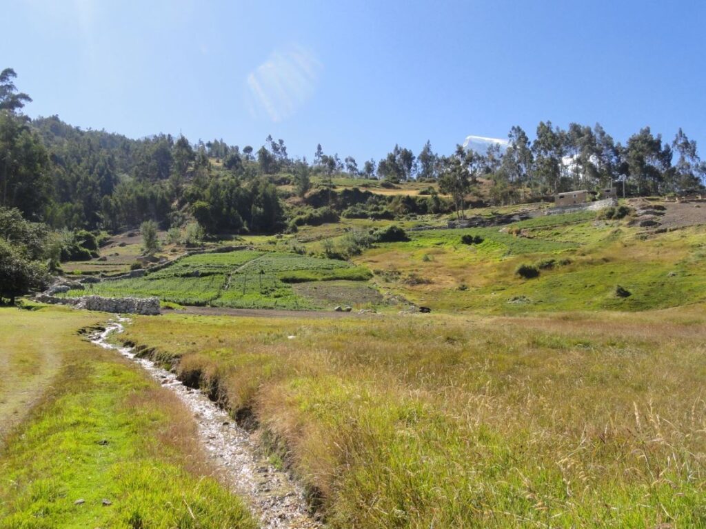
Hydro-GIS Ltd have been working together with researchers from Reading University, Peru and Argentina on a water resources project in the Peruvian Andes to explore the availability of water for farmers in the Cordillera Negra and Cordillera Blanca mountain ranges where crops are grown at altitudes between 1500m and 3500m.
The impact of climate change on water availability, agro-pastoral systems and local communities remains poorly understood in the Peruvian Andes. This is a highly controversial issue given that Peru is vulnerable to the effects of climate variability and extreme weather and this is already having a significant impact on agricultural productivity. This project, funded by the British Academy Knowledge Frontiers Research Grant, aimed to gain a better understanding of the challenges faced by communities living with climate change, and the opportunities afforded through appropriate adaptive strategies.
The main output will be a framework, integrating socio-economics with water resource data, for use by communities and institutes in Peru and internationally.
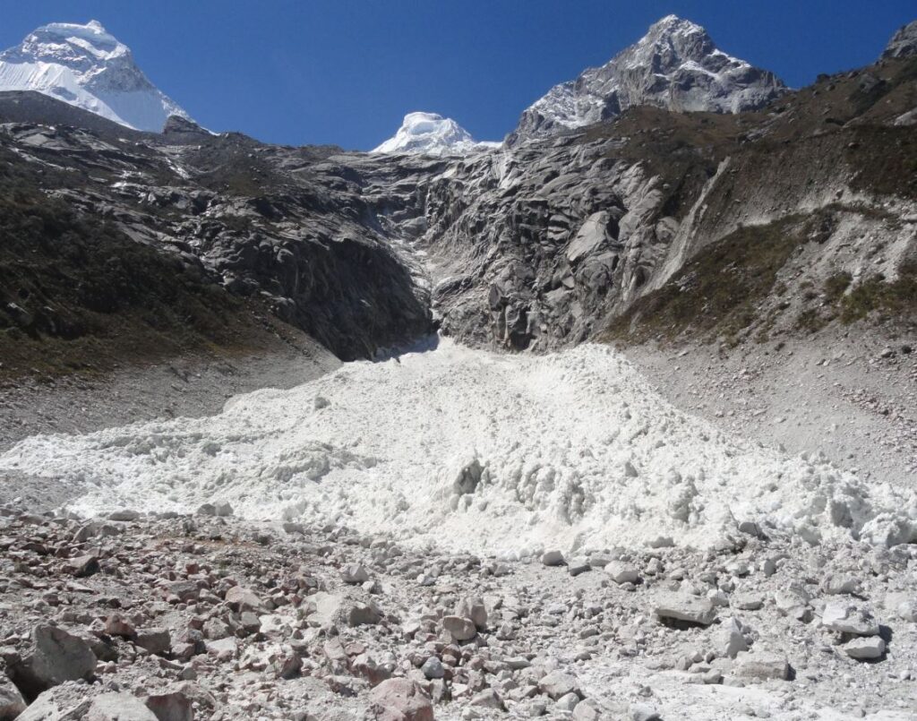
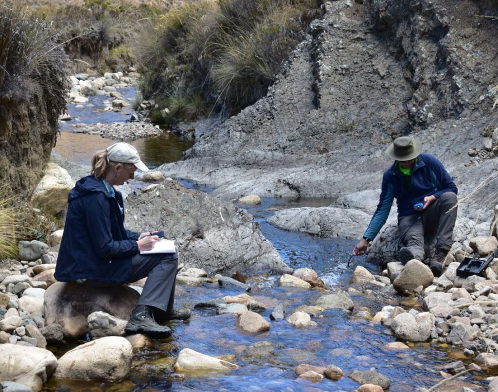
Assisting on the physical Geography aspect of the research, Hydro-GIS staff supported the collection and sharing of hydrological data – quantifying hydrological storage and flows using a range of methods, including survey of rivers, current and ancient water management features, and modelling to determine flow direction, flow accumulation and saturation index and topographic wetness.
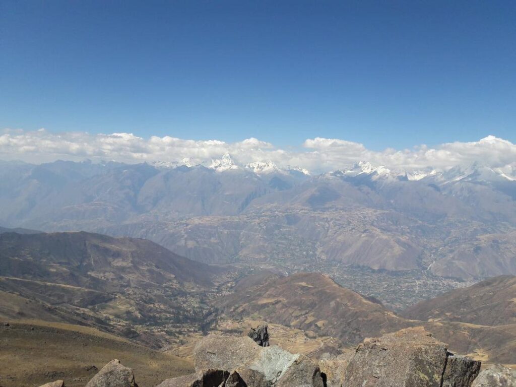
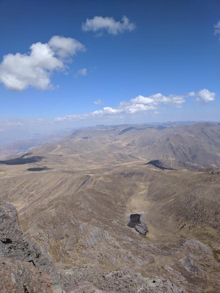
As part of the fieldwork during 2019, Hydro-GIS staff climbed a 5005m high peak at the watershed of the Chanclancayo Valley in the Cordillera Negra. We know from an archaeologist leading the project team that the peak was used by the Incas as a look-out, and it was also climbed by a German-Austrian survey team in the 1930s. Apart from a climb he did some 10 years ago, there is no record of anyone else scaling the peak or having photos of the views.
A Story Map of the project is now available to view online: https://arcg.is/0rLeXm