More than 25 years’ experience of GIS software
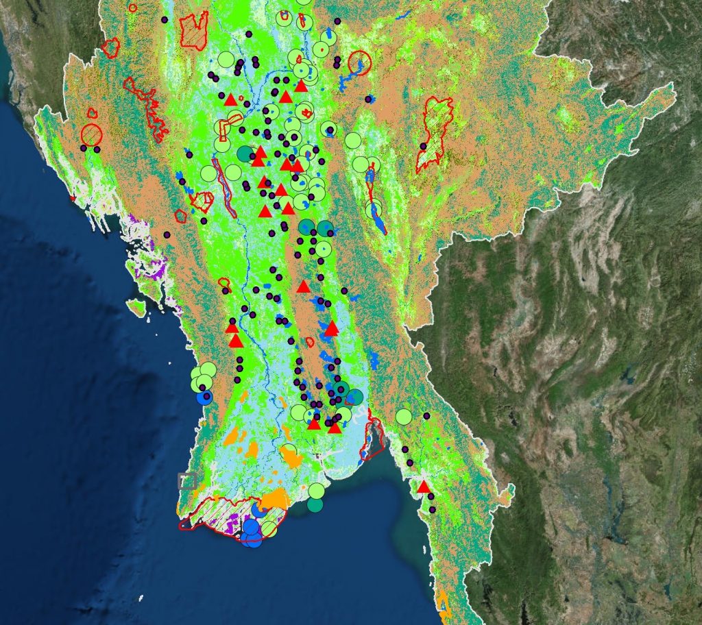
Geographical Information Systems (GIS) is a computer-based capability for the manipulation of spatial (geographical) data which enables the overlaying of many data layers, handling data in raster, vector, and tabular formats.
Hydro-GIS have used GIS extensively for a wide range of projects and provide specialist consultancy in this area such as:
- Producing maps at different scales
- Thematic mapping of a range of geographical features
- Spatial analysis and grid-based modelling
- Analysis of satellite imagery and remote sensing data
- 3-d visualisation
In particular we have used GIS for hydrological purposes such as:
- Flood depth and extent mapping,
- Generating digital terrain models
- Modelling flow pathways based on surface topography
- Delineating river networks and drainage basins
- Defining hydrological model parameters
Get in touch
Talk to us today and discover how Hydro-GIS can help with your project

Looking for training? Hydro-GIS provide independent courses and workshops in ArcGIS. Either as a general introduction or for a specific application (such as flood mapping). Contact us to discuss your requirements.
Case Study
As part of a study with a team of environmental consultants, Hydro-GIS used GIS to map and analyse a world-wide dataset of over 3,000 samples of 14 different pharmaceutical based pollutants.
The analysis mapped concentrations using a traffic light-based warning system to highlight the most at risk areas and also produced a statistical analysis of different chemicals at particular sampling locations.

University College London Courses
Dr Harvey Rodda, our Director of Hydrology, is an Associate Professor at University College London and provides a module on the flood hazard as part of the MSc in Geophysical Hazards and Certificate in Natural Hazards for Insurers course. Download the course brochure for more details:
