Data Sets for flood risk and hydrological analysis
Hydro-GIS has a variety of data available for use in flood related work which includes the British Rainfall Digital Archive and Historical Flood Databases for Europe. See our full range of datasets available to purchase at dClimate’s Data Marketplace .
dClimate is a chain-agnostic decentralised climate information ecosystem. Supplying catastrophe, climate change and environmental risk data, tools and services to a wide range of sectors, including insurance, banking and finance, development & engineering and consultancies, it helps us to better understand how weather and climate impacts our communities and build data-driven technology solutions for helping communities achieve climate resilience in the 21st century.

British Rainfall Digital Archive (BRDA)
Based on observations going back to 1866, a digital archive of UK extreme rainfall data was compiled in 2007-2009 by Hydro-GIS as part of a research project together with Oxford University and offers the most comprehensive resource on historical extreme rainfall for the UK.
The Archive contains:
- More than 28,000 observations of extreme rainfall
- Over 1,000 pages of text and eye-witness accounts describing the rainfall events and associated impacts (such as flooding)
- 250+ rainfall maps and photographs
- GIS data layers of historical rainfall footprints
The BRDA data can be used to enhance a range of studies such as Flood Risk Assessments, historical flooding studies, and insurance reports. It can provide more detail on the flood risk at a site and particularly the risk of surface water flooding directly from rainfall.
Get in touch
Talk to us today and discover how Hydro-GIS can help with your project
The Met Office has digital records for most of its network of rain gauges back to 1961. Further back in time, the number of gauges for which digital data is available rapidly drops to only a few hundred by the year 1900.
By contrast, the BRDA has records from over 4,000 gauges dating as far back as 1900, making it the most comprehensive record in the UK.
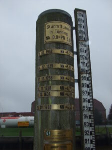
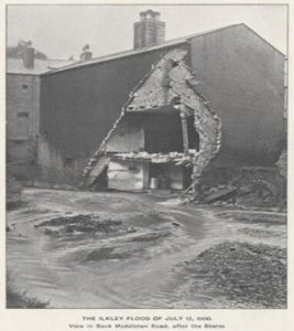
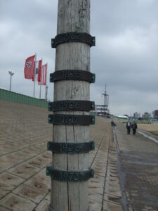
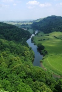
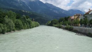
Historical Flood Databases
Hydro-GIS Ltd have documented records for more than 1,000 river and coastal flood events across Europe dating back to the year 1190. Covering the countries of Austria, Bosnia-Herzegovina, Bulgaria, Croatia, Czech Republic, Germany, Hungary, Moldova, Montenegro, Norway, Poland, Romania, Serbia, Slovakia, Slovenia, Sweden, Ukraine and the UK.
Data is available in standard MS Excel format, with accompanying image files of maps and photographs.
Flood Event Footprints
Flood event footprint data provides a crucial tool for developing new flood catastrophe models.
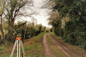
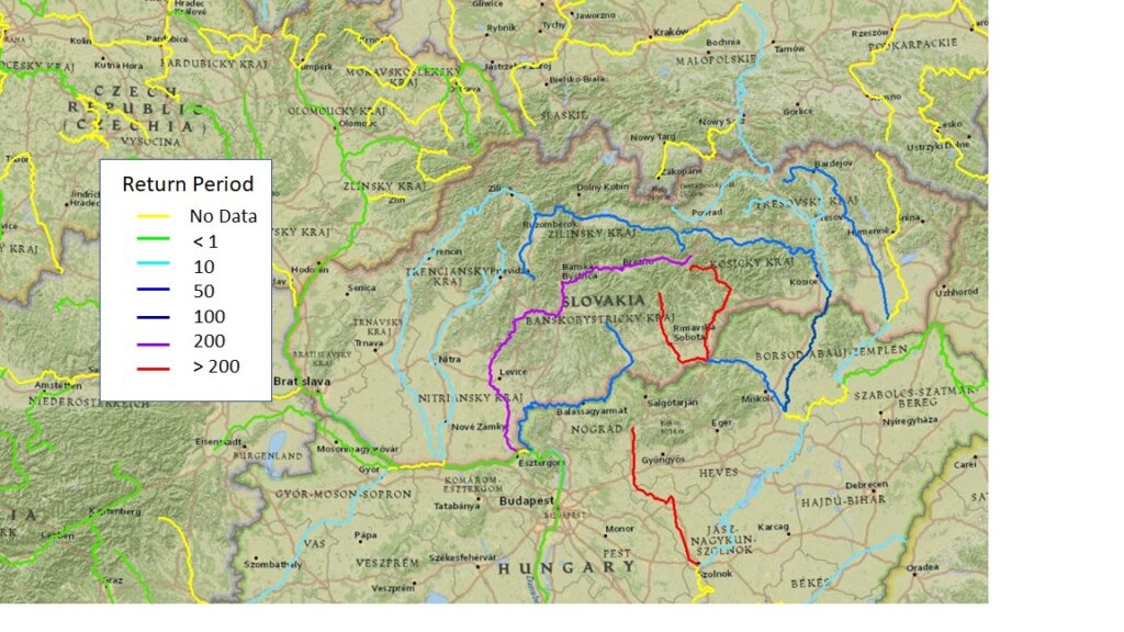
Bespoke Data
Hydro-GIS can also provide bespoke data services as we have collated quantitative hydrological data for a range of countries from archived sources, such as digitised entries from hydrological yearbooks and other printed records and data in the public domain obtained from hydrological services, The data includes simple listings of hydrological observations but also derived data such as flood frequency curves, return period estimates, and flow/level rating curves.
We provide the Data in standard formats, such as MS-XL, for further analysis.
Get in touch
Talk to us today and discover how Hydro-GIS can help with your project