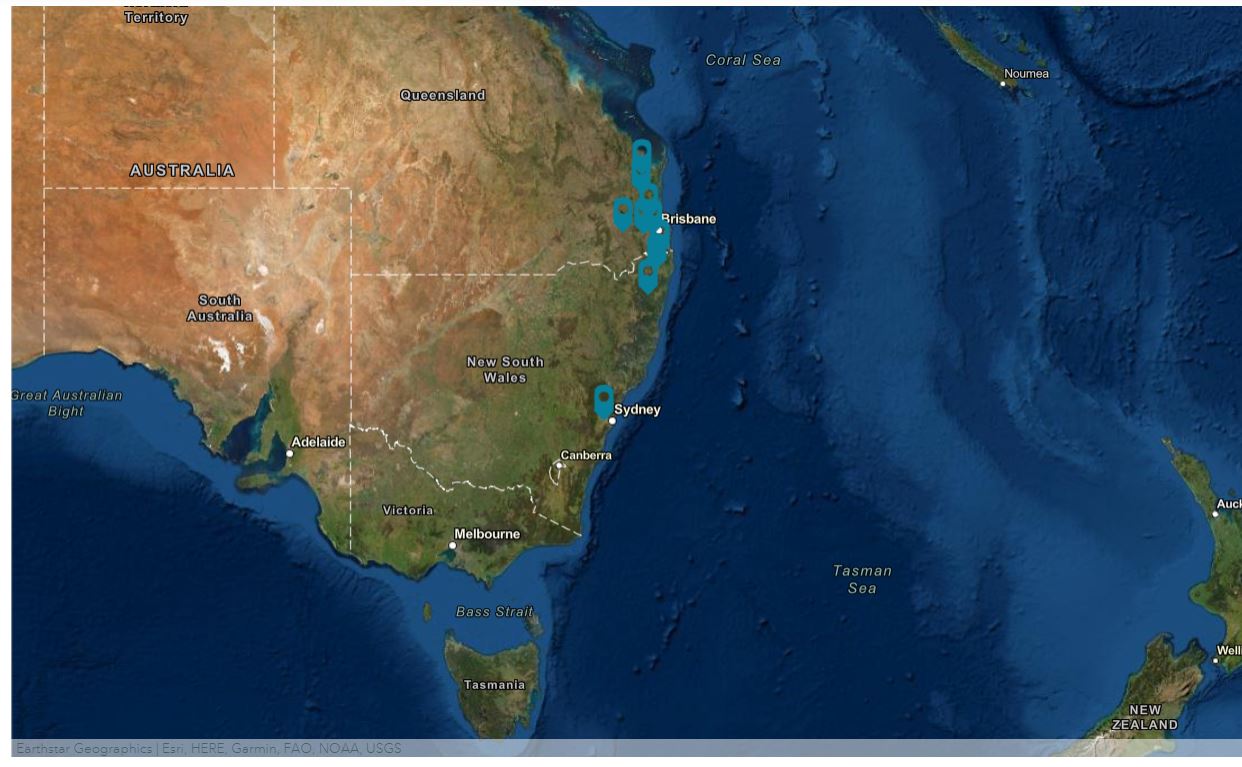
A catastrophic flood event has occurred in South East Queensland and parts of coastal New South Wales.
It began on 23rd February 2022, caused by a low pressure system over Queensland’s southern coast that dragged in moisture from the Coral Sea in the north, raising it over the Queensland coastline. Furthermore, around New Zealand there existed an area of high pressure which obstructed the low pressure system from drifting away into the Tasman Sea.
The Bureau of Meteorology confirmed the six-day total rainfall for Brisbane was 792.9mm. This smashes the previous record set in 1974 of 655.8mm.
Affected areas
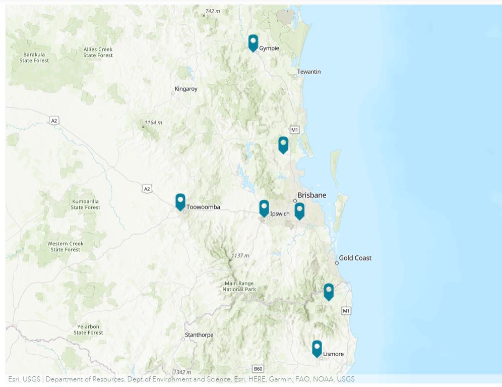
Brisbane suffered major flooding, along with the cities of Maryborough, Gympie, the Sunshine Coast, Caboolture, Toowoomba, Ipswich, Logan City, the Gold Coast, Murwillumbah, Grafton, Lismore, the Central Coast and some parts of Sydney.
More than 20,000 homes were inundated and power outages affected over 51,000 properties. All public transport services were shutdown, lasting for several days. This included rail, buses, and City Cat ferries. South-East Queensland’s rail network suffered extensive damage resulting from landslips, and major highways were closed due to flooding.
Brisbane River’s height reached 3.8 metres. This is higher than the 2.3-metre peak height of flooding in 2013 but less than the peak height of 4.46m in 2011.
Wivenhoe Dam peaked at 183.9% capacity on 28 February, despite the outflow gates being opened. Enoggera Dam, in the western Brisbane suburb of The Gap, reached a record capacity of 270% on the same day.
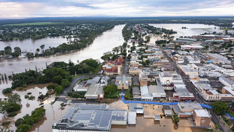
In the Wide Bay–Burnett, the city of Gympie saw the Mary River peaking at 22.8 metres on 28 February. This reached its highest water level since 1893. About 550 people sought shelter at the Gympie evacuation shelter, and up to 3,600 homes were inundated in the city. The city of Maryborough also suffered flooding in parts of its CBD and cut bridges. An 11-metre flood levee was erected to protect the rest of the city centre.
Devastating loss
13 people are known to have died during the flooding so far, with Lismore, New South Wales experiencing the worst flood in its history.
On Tuesday 8th March, 60,000 residents in Sydney were told to evacuate their homes as the storms and flash flooding continued to wreak havoc. The city’s dams were overflowing, rivers breaking their banks, roads had been blocked and schools closed. Much of the damage done over the past 16 days of rain has yet to be revealed.
Australia has been at the sharp end of climate change, with droughts, deadly bushfires and floods becoming more common and intense as global weather patterns change.