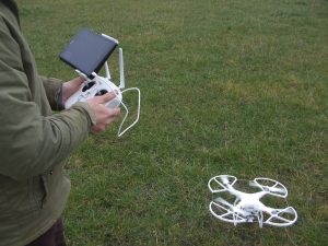
Hydro-GIS Ltd worked together with researchers from the Open University in a pilot study to test using a drone for mapping flood extents.
The approach has a number of potential applications such as demonstrating flood extents in areas where EA flood maps are inaccurate, which is particularly common for small streams, and to assist insurance companies in estimating losses and dealing with bogus claims. The study however found a number of limitations including the logistics of mobilising the drone to capture the full flood extent, legal restrictions on the routes which can be flown, problems with drone battery life, and problems with software used to process images and generate the high resolution digital terrain models.
On the positive side however we have maintained our link with the Open University and have access to use the drone for further detailed mapping studies. Please contact Dr Harvey Rodda for more details here.
The full report can be accessed here.